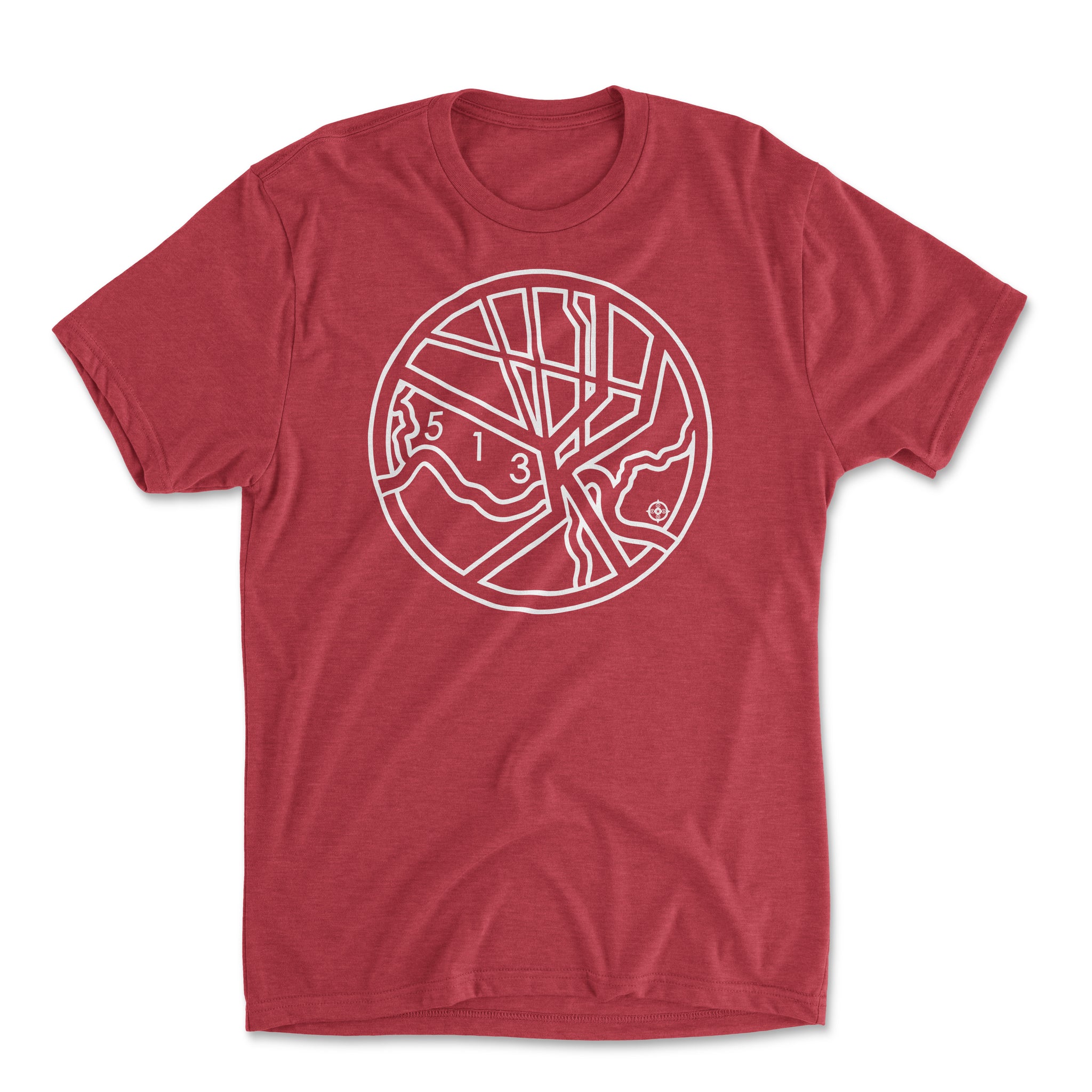

Cincinnati T&O; Map (White on Red)
Regular price
$26.00
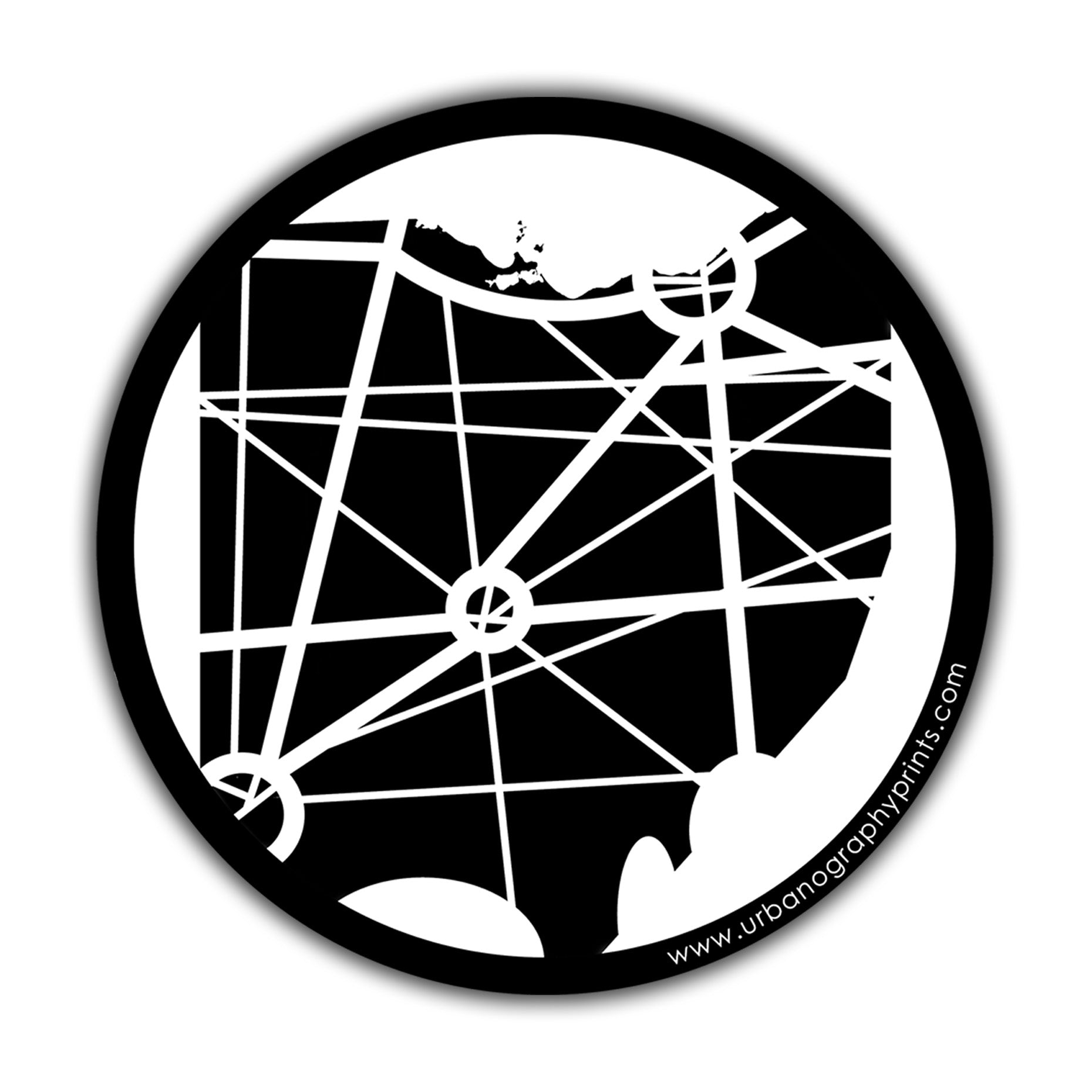
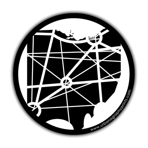
What’s a T-O map you ask? As a bit of a map geek, I’m glad you asked! A T-O map is one of the original map styles, first used in medieval times. Mostly, they used land formations like rivers, oceans, and mountain ranges as the dividing lines. It's pretty hilly just about everywhere outside of the mighty Ohio River, but those river-like highways are unmistakable - 71 and 471 splitting into Kentucky, and 71, 75 and 74, fanning out north - all wrapped up in a pretty 275 circle.
FABRIC DESCRIPTION:
50% Polyester 25% Combed Ring-Spun Cotton 25% Rayon
A perfect blend that is incredibly soft with great drape, stretch and recovery.
DETAILS:
- Fabric: Tri-Blend Jersey
- Neck: Crew
- Binding: Side seamed. 1x1 tri-blend baby rib set-in collar.