Columbus T & O Map Long Sleeve
Regular price
$30.00
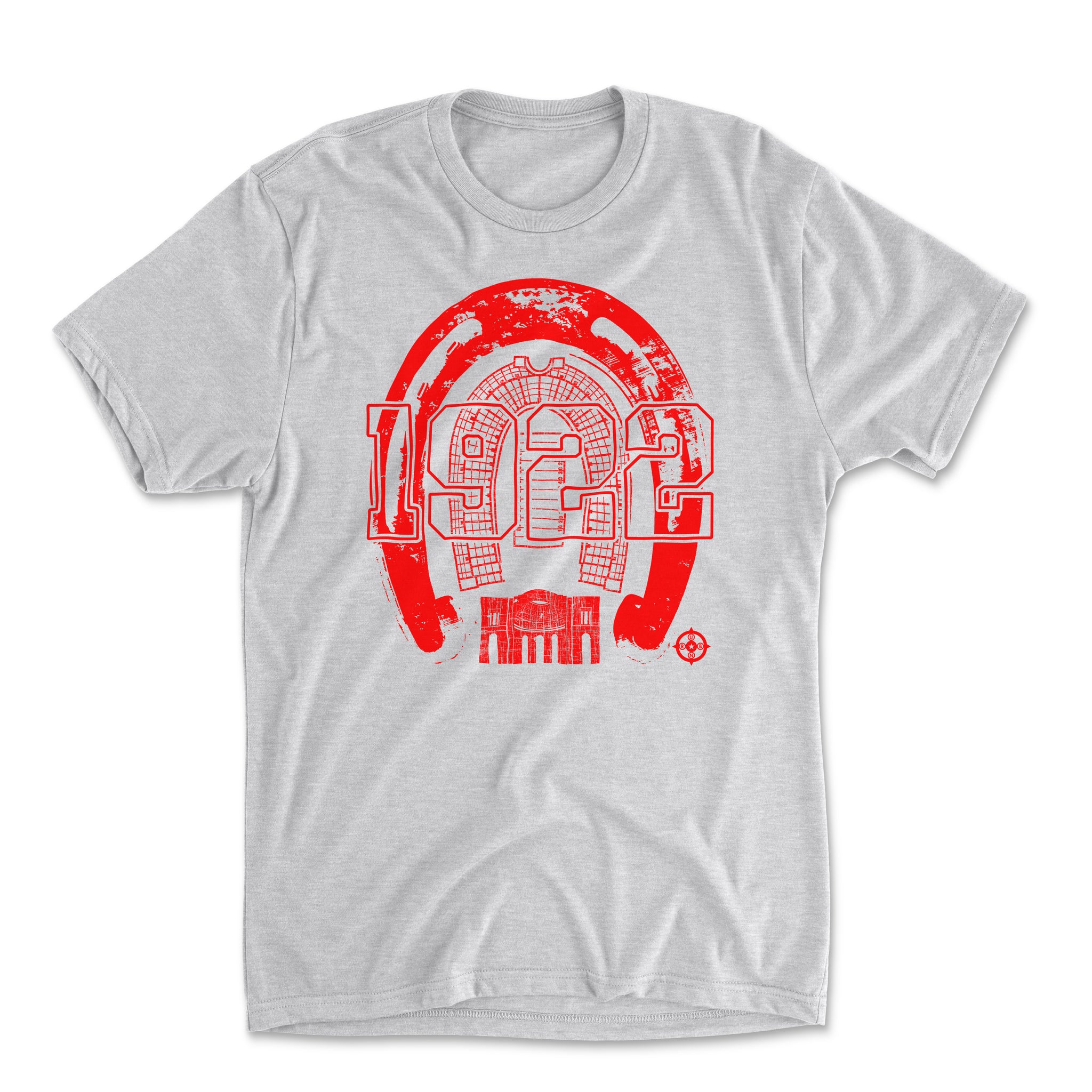
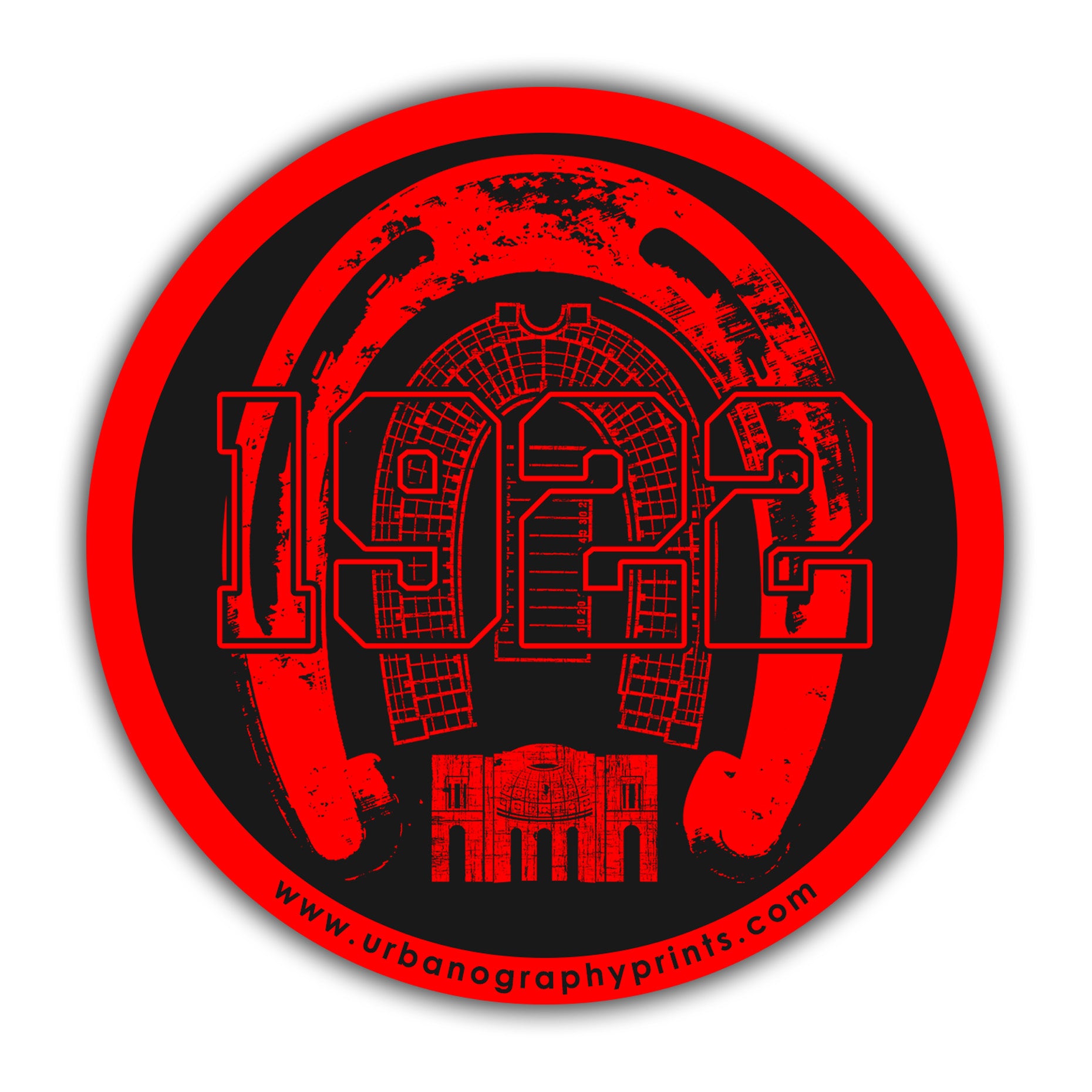
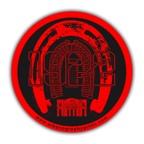
What’s a T & O map you ask? As a bit of a map geek, I’m glad you asked! A T & O map is one of the original map styles , first used in medieval times. Mostly, they used land formations like rivers, oceans, and mountain ranges as the dividing lines. We’re a little more flat here in Columbus, but those river-like highways are unmistakable. 315 and 71 heading north, 70 east and west. 670 shimmying through to get you to the airport and Easton - all wrapped up in a pretty 270 circle.
FABRIC DESCRIPTION:
50% Polyester 25% Combed Ring-Spun Cotton 25% Rayon
A perfect blend that is incredibly soft with great drape, stretch and recovery.
DETAILS:
- Fabric: Tri-Blend Jersey
- Neck: Crew
- Binding: Side seamed. 1x1 tri-blend baby rib set-in collar.